We’d like to remind Forumites to please avoid political debate on the Forum.
This is to keep it a safe and useful space for MoneySaving discussions. Threads that are – or become – political in nature may be removed in line with the Forum’s rules. Thank you for your understanding.
📨 Have you signed up to the Forum's new Email Digest yet? Get a selection of trending threads sent straight to your inbox daily, weekly or monthly!
The Forum now has a brand new text editor, adding a bunch of handy features to use when creating posts. Read more in our how-to guide
Where is London?
Comments
-
postcodes are a way of distinguishing the poor from the rich0
-
Well it is... part of it. Other parts of it are in Surrey, Kent, Essex, Herts.
Here's a follow-up thought... How far away do the "London X miles" start? If you join the M1 at Leeds and head south when's the first marker? Or if you leave Scotland on the A1 - when does it start marking London as opposed to "The South"?
Probably not far from Leeds, IIRC.
It's not very consistent, because "The South" is used a lot in the North, and vice versa, there are also some "The South West and The West", but I don't think I've ever seen a sign in the West/SW of the UK that says "The East".0 -
Welling has long been part of the borough of Bexley, which moved from being part of Kent to being a London borough in 1965...
It's 51 years ago... I wonder how long before these changes actually sink in?
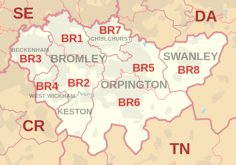
Welling is DA16 i.e. Dartford. i.e Kent. That sort of thing tends to confuse people. Certainly if the Powers That Be wanted to stop the people of Welling from regarding themselves as Kentish, they probably should have given them a London postcode.0 -
But post for Welling is distributed through Dartford. That's all a DA postcode means. No more than that.Cornucopia wrote: »Welling is DA16 i.e. Dartford. i.e Kent. That sort of thing tends to confuse people. Certainly if the Powers That Be wanted to stop the people of Welling from regarding themselves as Kentish, they probably should have given them a London postcode.
When you look at a map, it's obvious why that is.

 0
0 -
Yes, I know. I'm just saying that you can understand how/why people get confused. I used to live in a rural area where the Postal Town was 25 country lane miles away (about an hour's drive in a delivery truck). I did always try to delete the Postal Town from my address, but couldn't always do it, and consequently often had deliveries go astray and frustrated calls from delivery drivers half way across the county.But post for Welling is distributed through Dartford. That's all a DA postcode means. No more than that.
With Satnav that should be a thing of the past, but for a while it was a tedious and avoidable problem.When you look at a map, it's obvious why that is.
In what way?0 -
Cornucopia wrote: »I used to live in a rural area where the Postal Town was 25 country lane miles away (about an hour's drive in a delivery truck). I did always try to delete the Postal Town from my address, but couldn't always do it, and consequently often had deliveries go astray and frustrated calls from delivery drivers half way across the county.
We had a similar problem in my area, the Royal Mail.address was:
Street
Post Town
Postcode.
After discussion with Royal Mail, it is now:
Street
Village
Post Town
Postcode0 -
My official postal address is...
House
Village,
Next village (not much larger)
Post town (20 miles away, only city in eponymous county)
Postcode.0


This discussion has been closed.
Confirm your email address to Create Threads and Reply

Categories
- All Categories
- 354.1K Banking & Borrowing
- 254.3K Reduce Debt & Boost Income
- 455.3K Spending & Discounts
- 247.1K Work, Benefits & Business
- 603.7K Mortgages, Homes & Bills
- 178.3K Life & Family
- 261.2K Travel & Transport
- 1.5M Hobbies & Leisure
- 16.1K Discuss & Feedback
- 37.7K Read-Only Boards